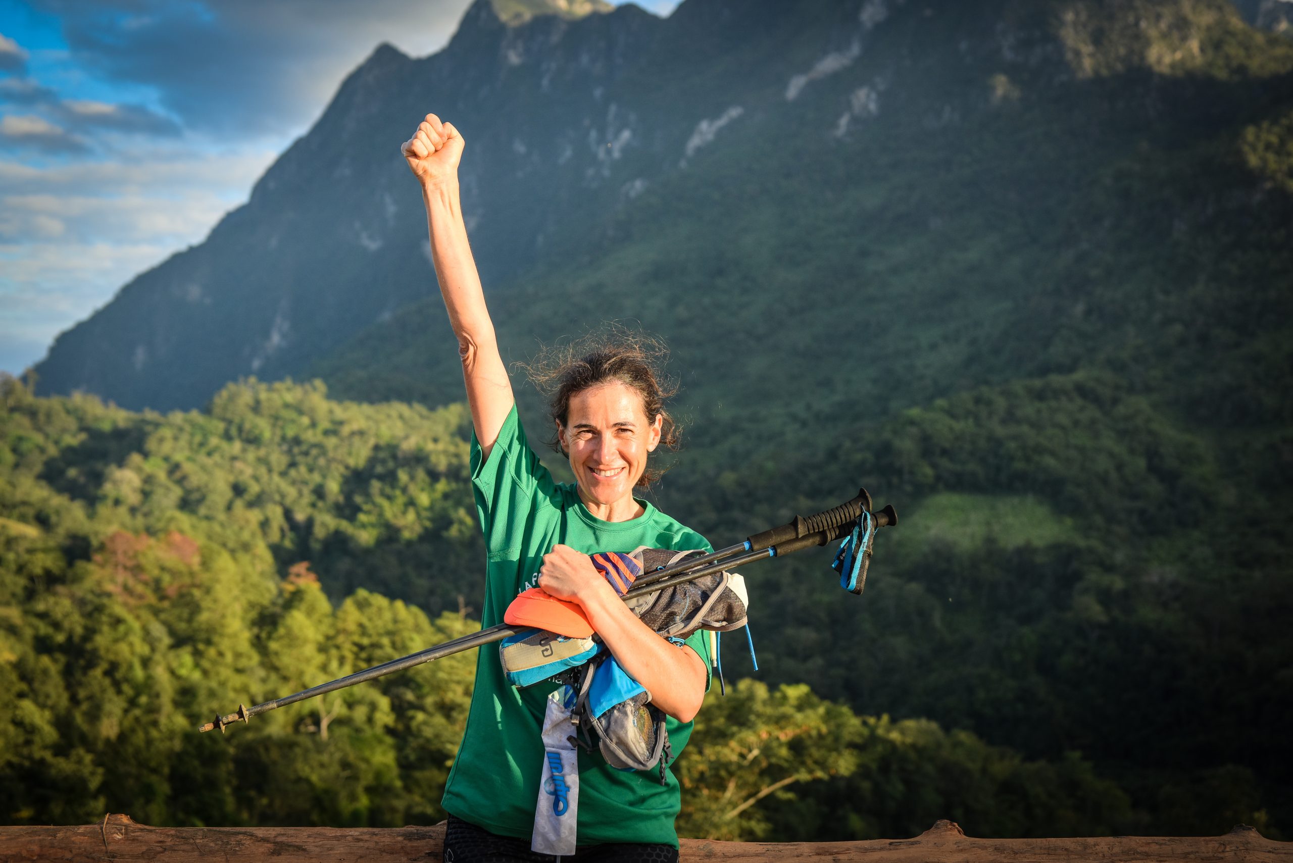
3 days, 40 Km, 2900m elevation difference, 3 summits, Lahu, Hmong and Lisu Hilltribes
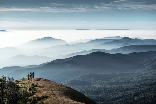
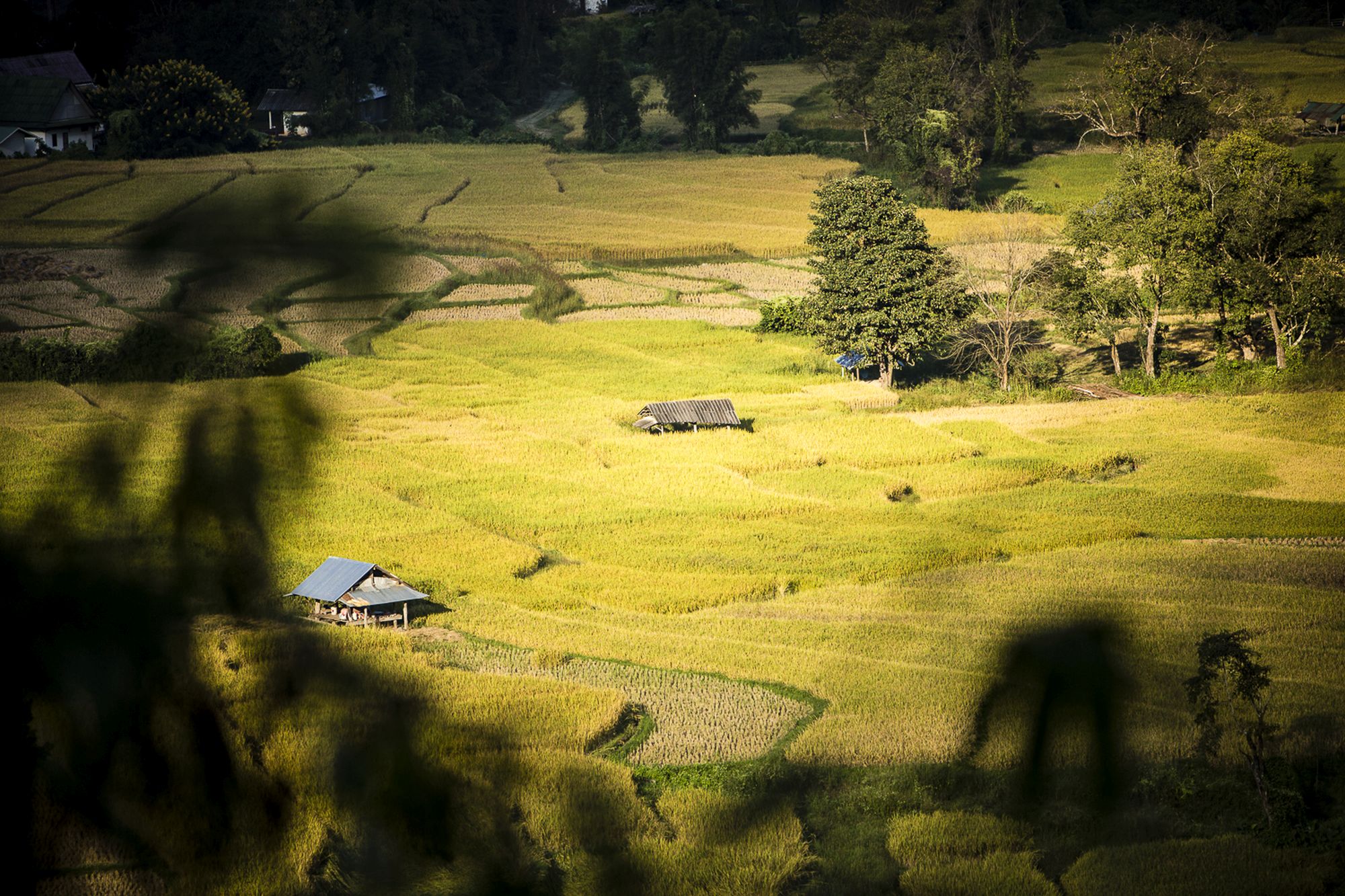
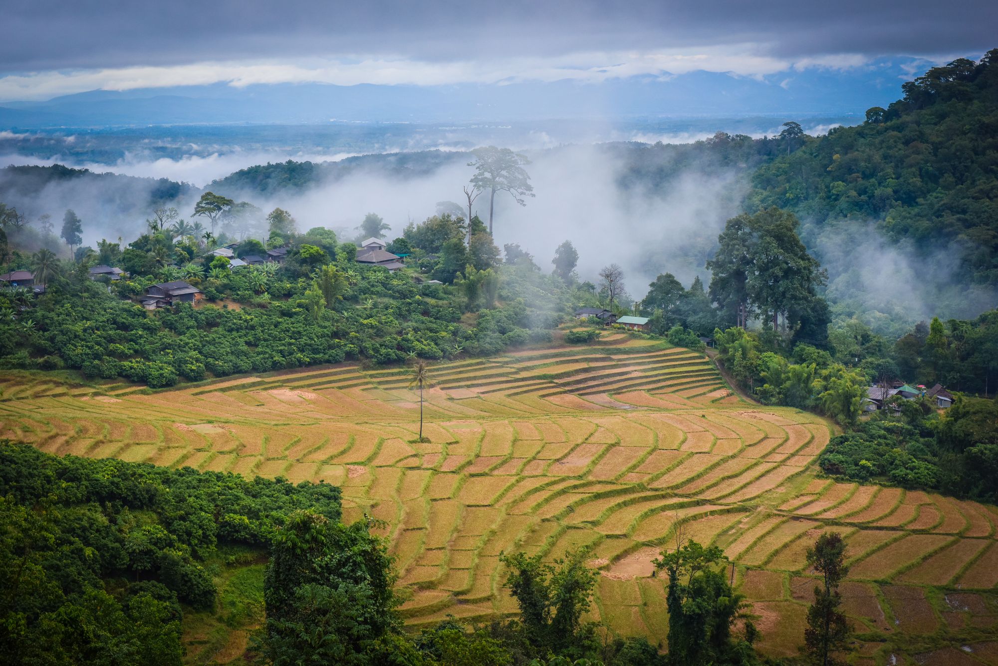
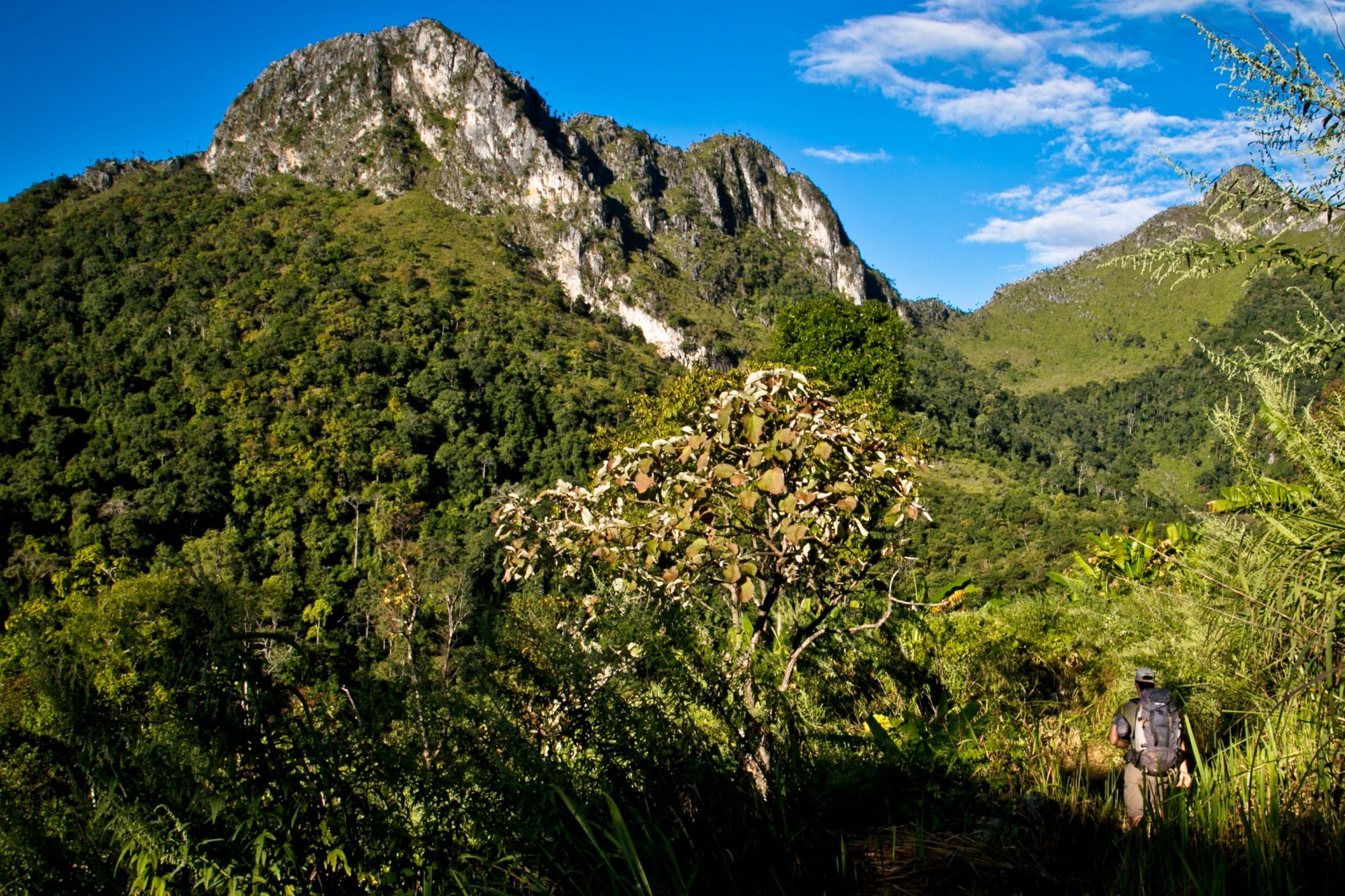
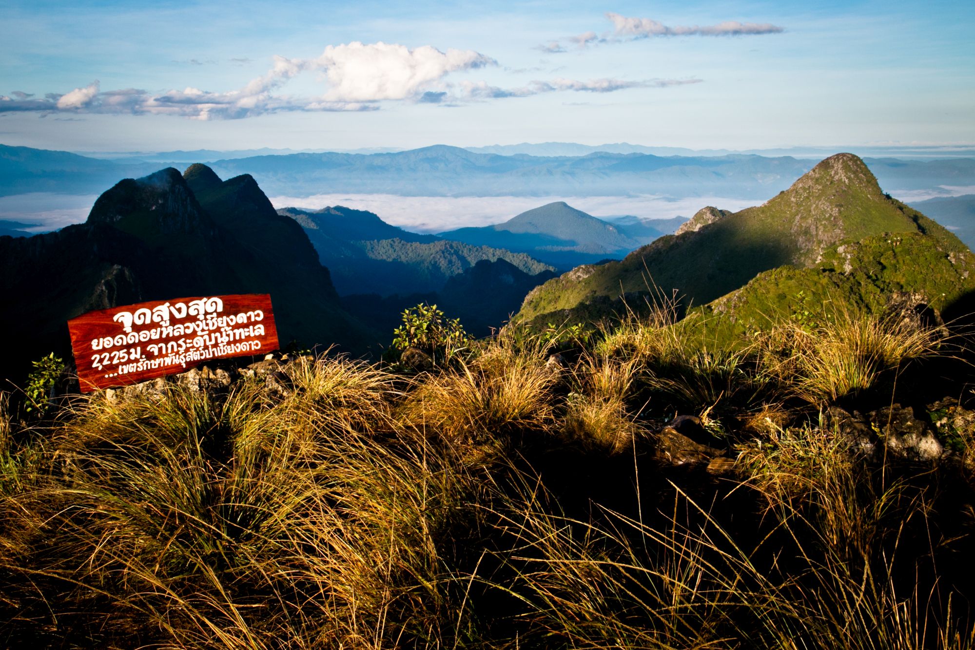
One of the most beautiful and yet little-known trekking routes in the north from Chiang Mai to the highest mountain range in Thailand, the Chiang Dao Range. Narrow paths lead high in the sparsely populated areas to where rocks and jungle touch. Several peaks over 2000m, jungle-covered hills, hidden mountain villages and ridges with breathtaking views make this largely unknown region the most fascinating trekking region in the country.
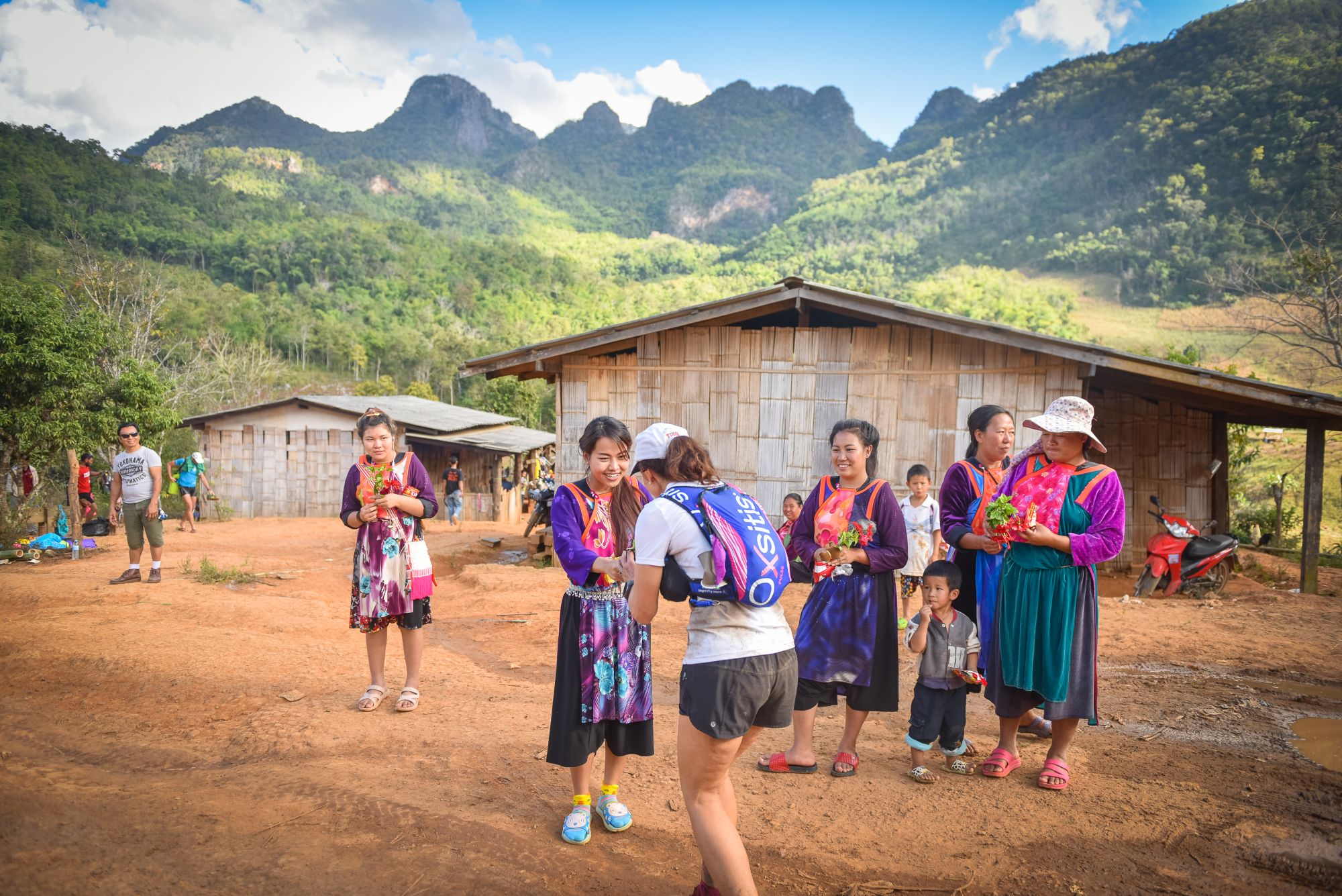
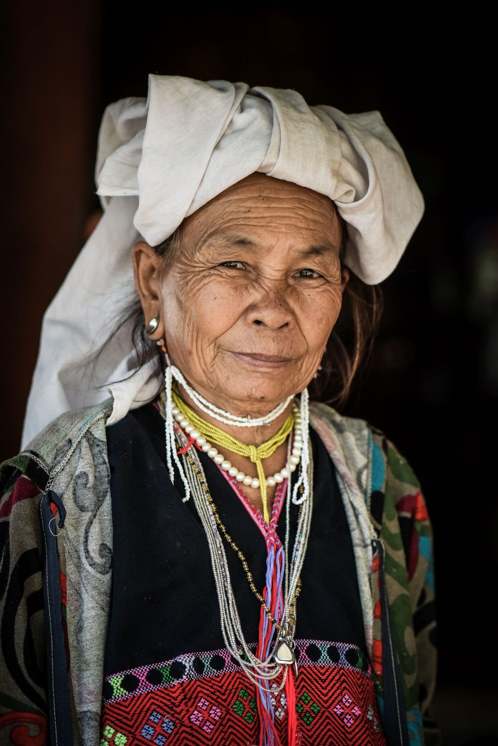
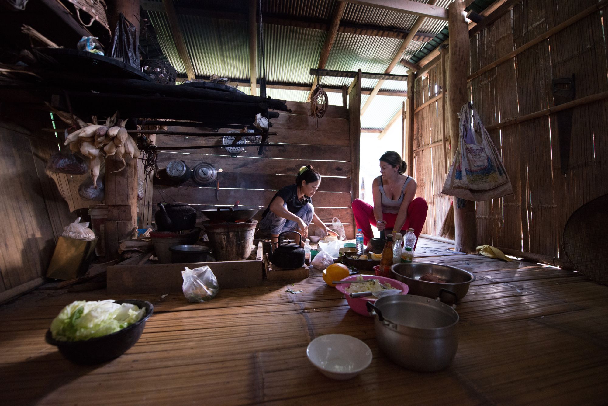
For 3 days we hike on remote trails amongst the highest mountains in Thailand and spend the nights in authentic mountain villages of the Lahu and Hmong.
Itinerary
Individual arrival in Chiang Mai and individual transfer (not included) in the well-located <a href="http://www.chiangmaigatehotel.com/" target="_blank">hotel in Chiang Mai</a> close to the old town. Check-in and opportunity to discover the different night markets.
9 km, 700m+ elevation gain, hiking time 5 hrs.
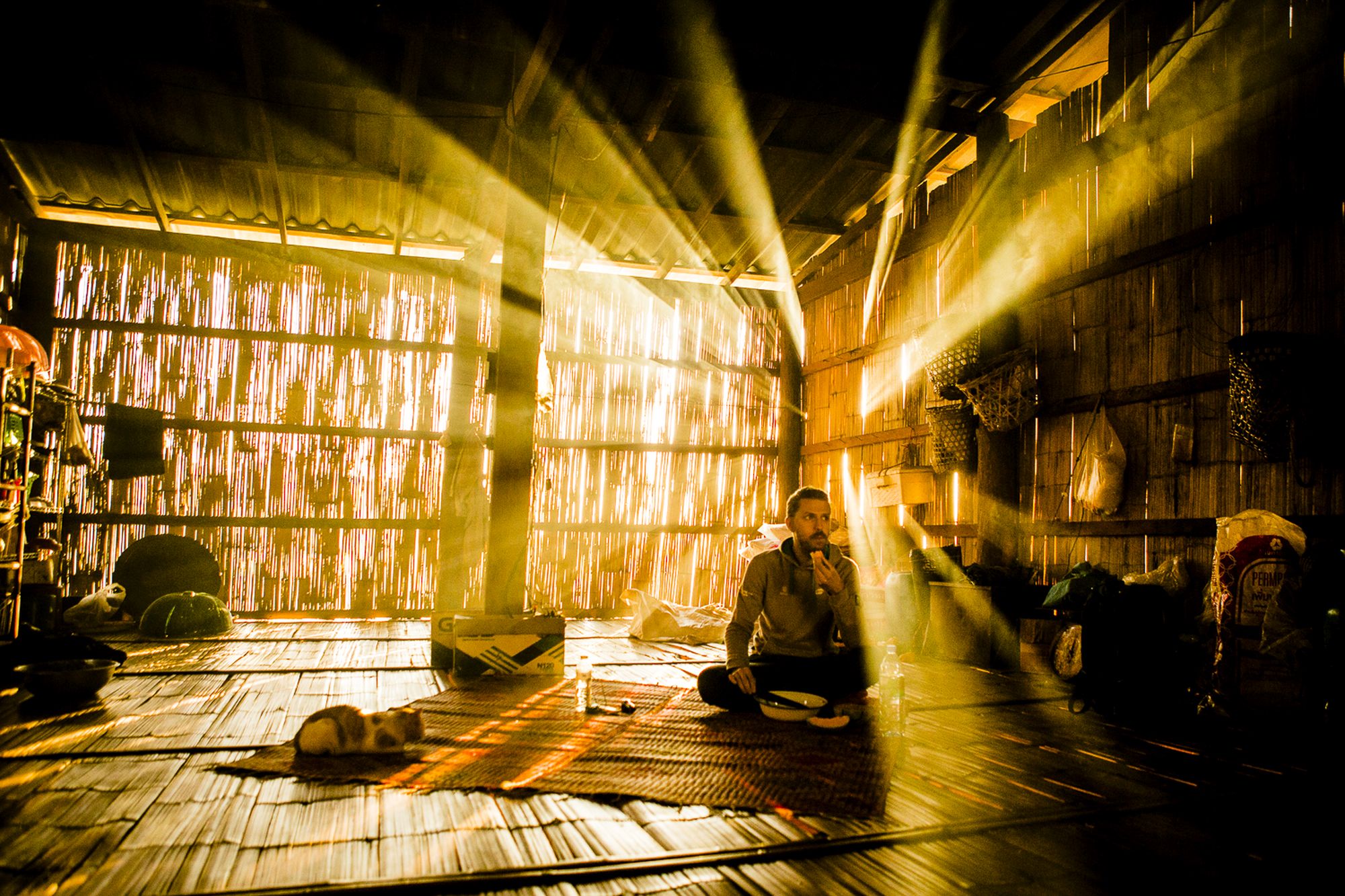
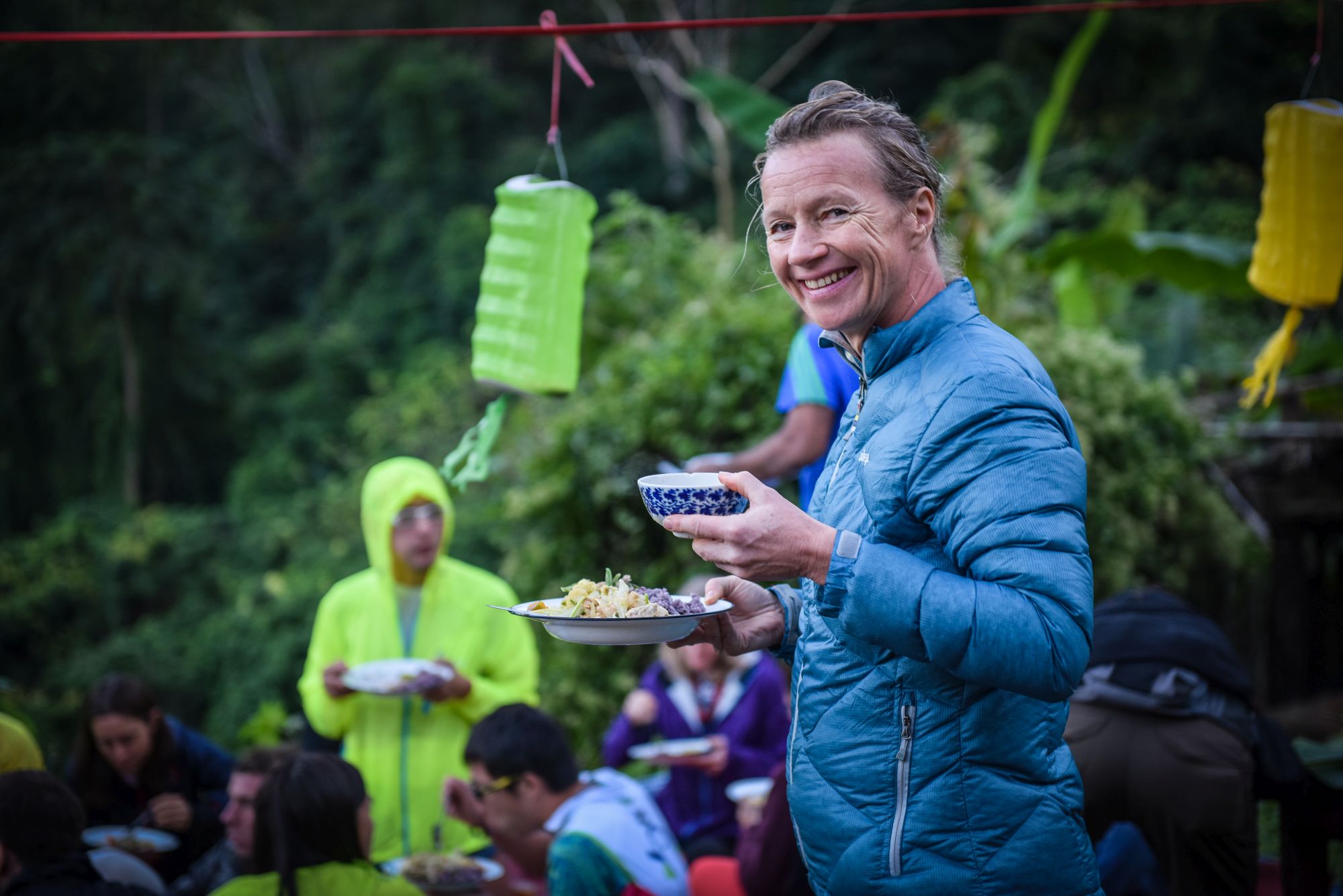
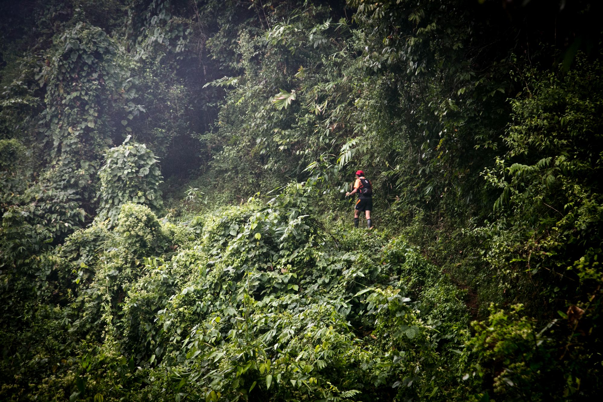
Breakfast at the hotel, meeting with the English-speaking trekking guide, brief instruction and transfer (1.5 hours) to start trekking on the Mae Taeng River, one of the most beautiful rivers in the province of Chiang Mai, which we follow for a while through its valley through lush tropical forest. The river is known for its rapids and rafting tours. We follow him on a wild bank path, partly we have to use machetes to get ahead. After the first 5 kilometers the path widens and we can enjoy the now gentle hike on the almost level route along the river. After several river crossings we stop for lunch at a 15m high waterfall. A demanding ascent follows until we reach our overnight accommodation, Kup Kap, a village of the Lahu hilltribe (1100m). In a distance of only 2 kilometers we climb a steep footpath 650 meters in altitude, but the effort is rewarded with a wonderful view over the valley of Mae Taeng. We have time to enjoy the scenery until sunset and soon the host family calls for dinner in their traditional bamboo house.
15 km, 1,100 elevation gain +, hiking time 7 hrs.
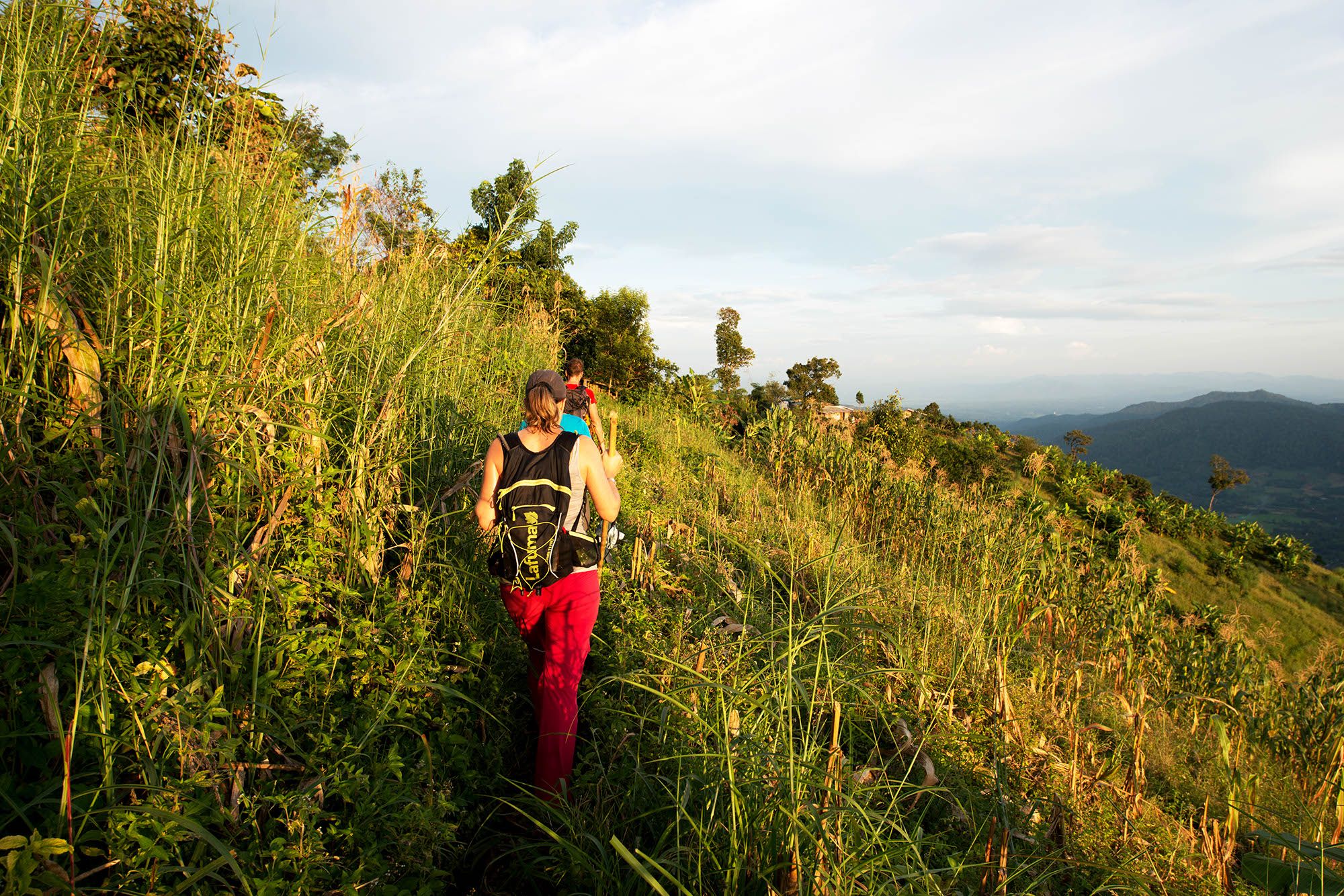
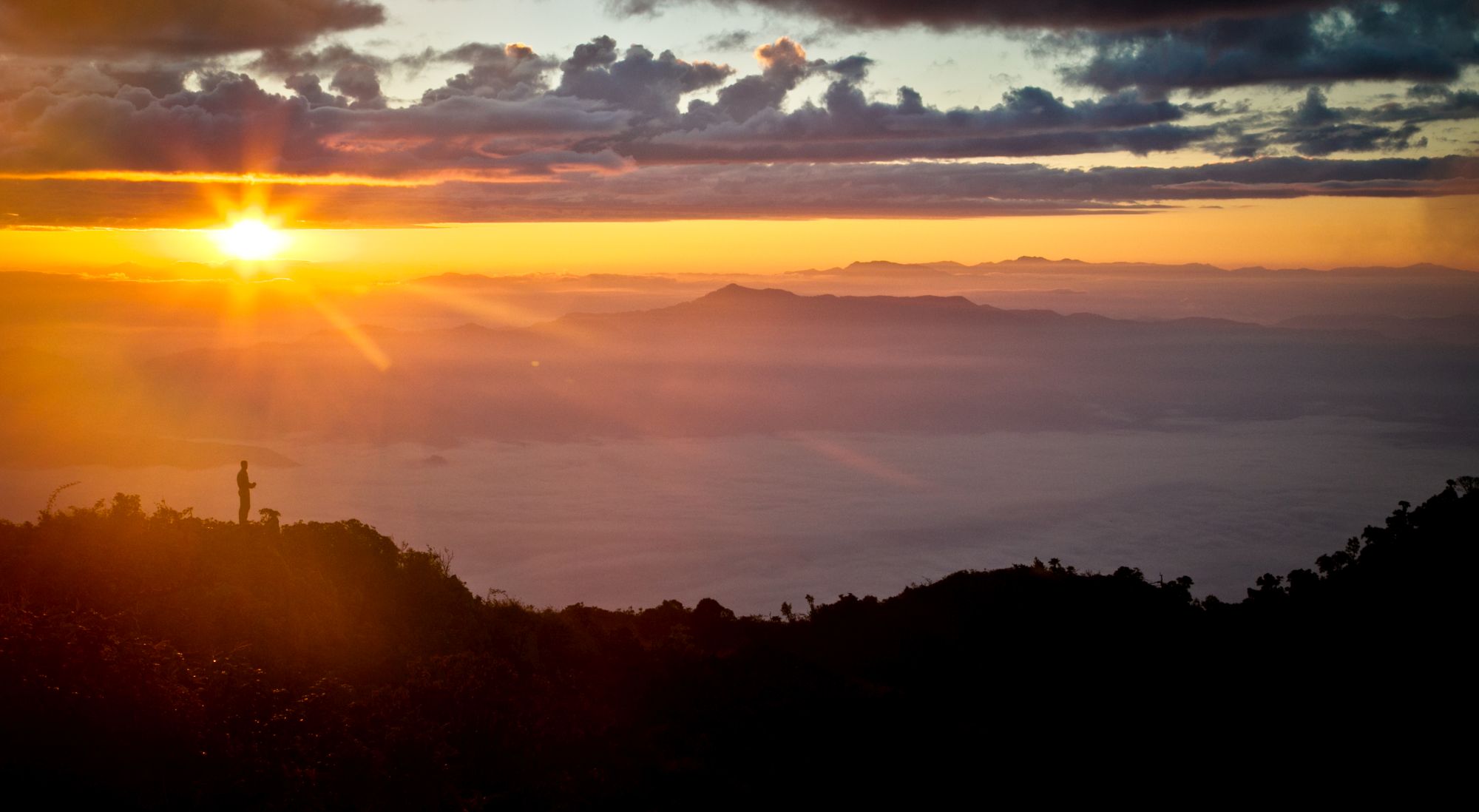
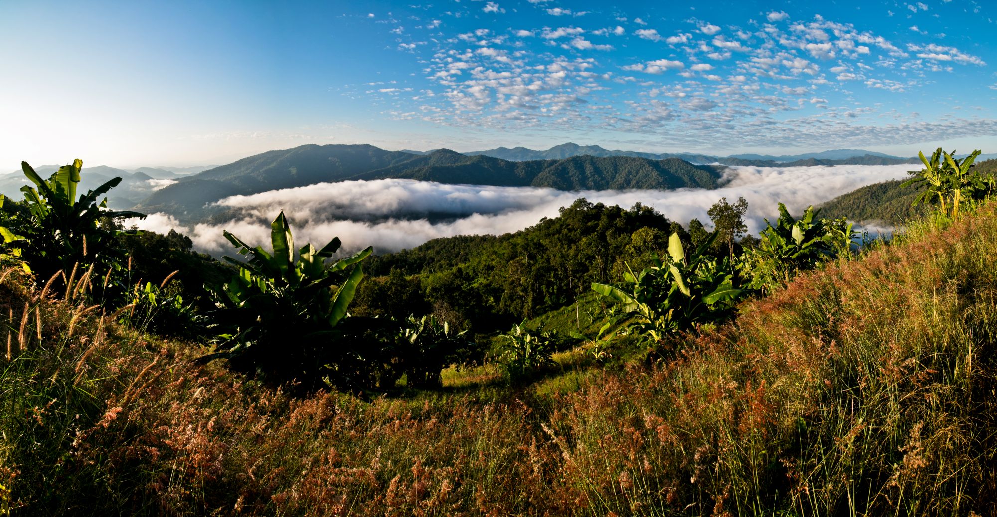
Breakfast at sunrise with a magnificent panoramic view of the surrounding mountains and valleys on the terrace of our house. The first rays of sun warm before leaving this magical place to descend through fields and forests. In the next village we can already see the highest point of the day, the mountain Doi Pha Sam Liam. A narrow path leads 800 meters in altitude over a long climb, first through tropical forest and pine trees, later along a steep slope to the summit of Doi Pha Sam Liam (1650m). The breathtaking panoramic view overlooking the sea of green mountains and hills as far as the eye can see is rewarding for the effort. Descent and overnight stay in a hidden mountain village of the Hmong people at the foot of the Chiang Dao mountains in small bungalows with great views of the surrounding mountains. There is also a well-deserved shower here.
16 Km, 1’100 elevation gain+, hiking time 7 hrs.
The day begins with a long descent before going uphill again on a steep path through old and dense forest. This is the most difficult part of the tour, several steep climbs and the most spectacular view over the endless green hills of the Golden triangle. The long descent through ancient jungle is steep and challenging and leads through 2 villages of the Lisu hilltribe at the foot of the Chiang Dao mountain range and finally reach Na Lao Mai and drive back from here to Chiang Mai (2,5 hrs.). Here we say goodbye to our guide. Overnight at <a href="http://www.chiangmaigatehotel.com/" target="_blank">Hotel</a>.
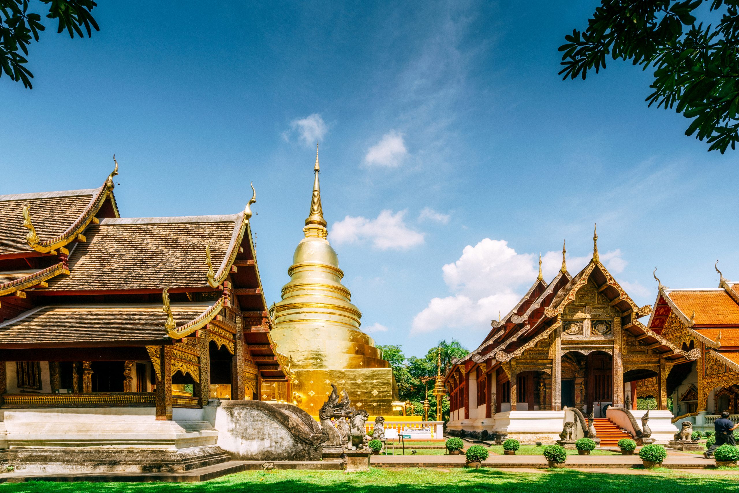
Pick up by an English-speaking local guide and go sightseeing to the most beautiful temples in the old town and optional visit to Doi Suthep and individual departure. Are you planning an extension, more adventures in the north, bike tours, wellness, yoga or a direct flight to the beaches of the south? Do not hesitate to ask us for more.